Gravel Rides
9AM on Friday the 13th of March 2026
Distance: Under 40km Ride leader: Rodney Brady
The route will be an in out section of a longer popular Gravel bike route. The surface is unsealed and good quality, mainly hard packed gravel surface that drains quickly and will be rideable even if it has rained the day before. No long hard climb up the mountain as we will drive to the top then follow the ridgeline that is a series of either flat or short up/down climbing sections that will add up over the ride. We will visit the plane wreck of the crash in 2000 all survived. If riders are interested, we can go to Mc Cleans lookout with views across to the Hunter Valley. The ride is through the Watagan forest, so wildlife sightings are possible - wallabies, birds and often Lyrebirds. The ride is unsuitable for road bike tyres, and you will need at least a 35mm tyre and a lower pressure than when riding on the road. Riders must be confident riding on an uneven unsealed surface on a road suitable for Gravel Biking. We may have the occasional car or motorbike pass us. This is not a hard ride by gravel bike standards, but it will be harder than the Toukley bike paths. Non e-bikers will require reasonable fitness. If necessary, at any time riders can stop and wait for the group to return or begin returning to the start as we will be mainly on the one road. The average speed will be determined so as to keep the group together.
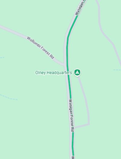
Starting point: Old Mill Picnic Area on the corner of Wollombi Forest Rd and Watagan Forest road. Best way is going via Martinsville and then left on Watagan Rd. The picnic area has toilets and picnic tables for those who may like to take lunch with them. There are a number of short bush walks in this location. There is a short section of unsealed road before the picnic area that is suitable for cars.
Alternate starting point: For those wanting a longer and harder ride you could start at the end of the bitumen on Watagan Road and ride about 6.5km to the starting point. Factor in that it will add 260m of climbing over the extra 13km return trip.
Google Maps location to the starting point (click link): Google Maps starting point: